Stephanie Ellingson
Environmental Science
July 13, 2005
Olympic National Park’s Hurricane Ridge
Olympic National Park in
The entrance to the park is
actually 18 miles from the trails. By the time I got to the top my hands were
shaking so
badfrom the drive I thought I was never
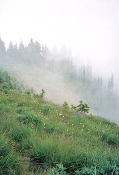
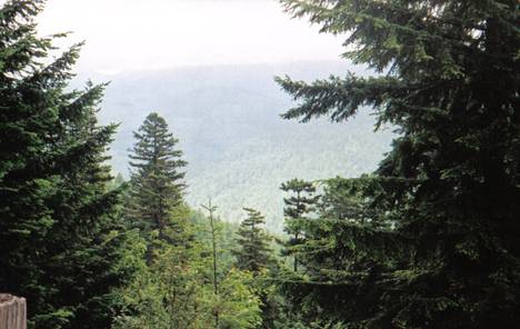
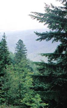
going to get my bearings. These first two pictures are the view from the
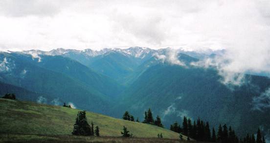
The foliage is a combination of deciduous forests and meadows. These next sets of pictures are of the trails from a view at the bottom. It is easy to identify the wide array of vegetation. This area is known as an ecotone.
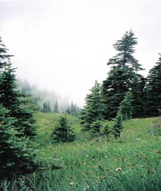
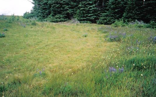
The picture above is of a trail named Big Meadow Loop.
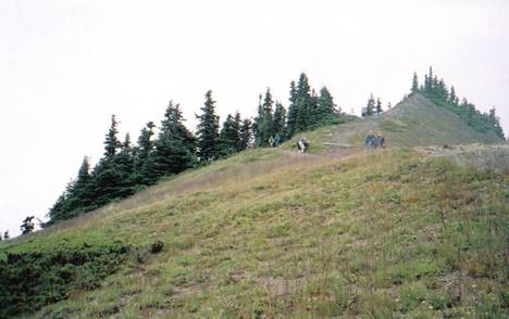
The preceding picture is of the top of Sunrise Point on High Ridge Trail. It is taken from a view looking up on it. It reaches an elevation of + 5, 471’.
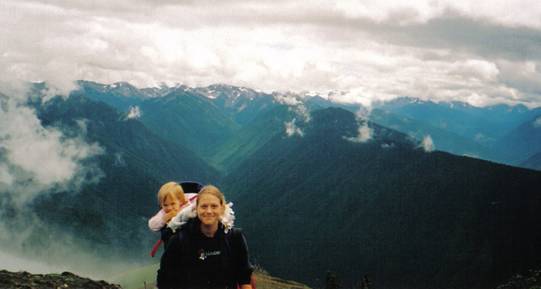
This next picture of my daughter and myselfwas taken upon Sunrise Point. The background is breathtaking.
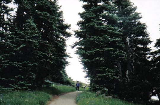
These next two pictures are of a naturally made forest shelter. This area functions as a house does protecting animals from the harsh winter wind and hot summer air. Deer and Snowshoes Hares can be found living in here, among other animals.
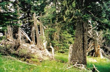
The first picture was taken while I was standing inside the shelter. This next picture was taken from the outside. The person in the picture is standing in the middle of the forest shelter. While standing inside the temperature is much lower and the wind isn’t noticeable.
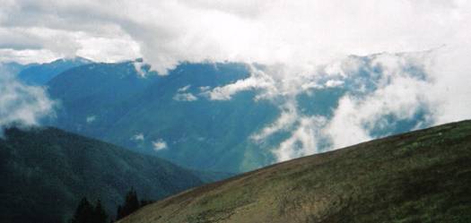
This next set of pictures is of the glacier carved cirques in the mountainside. This side of the mountain has snow covering it most of the year. The Ranger that spoke about this particular area said that the vegetation rarely grows here and that the area has taken its shape due to snow and glaciers. There is also a lot of fog and clouds that come up this side due to a river that is always filled with cool water.
This side of the mountain also experienced fires in September of 2003. 820 acres were burned. The fire was ignited by a strike of lightening. Due to the severity of the situation fire fighters were unable to extinguish the flames. This was because of all of the falling trees and rocks. The fire was eventually terminated from the rain in October. None of these pictures allow a glimpse at the secondary succession because of the heavy fog.

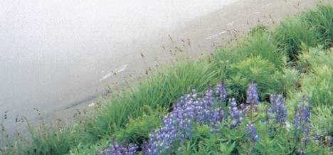
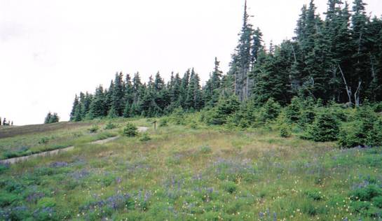
The meadows are very fragile in the park, therefore there are many signs posted warning hikers to leave them alone. This next picture is of a gap in a meadow that had been partially stepped on. The area with short, tan grass is where people have walked. The informative signs state that it will take almost 100 years to repair that damage.
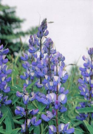
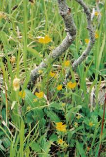
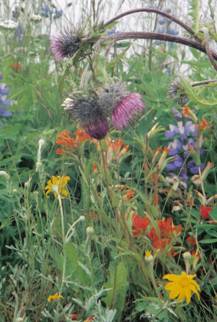
The flowers in these meadows are spectacular. I have pictures of a Fan- Leaf Cinquefoil and a Varicolored Lupine. This particular plant, the Varicolored Lupine, is from the Legume family therefore it produces nitrogen. When the park ranger asked us what chemical it produces, I had to chuckle to myself about how Environmental Science came in handy. I also have a picture of a variety of flowers that are living here.
The first picture is of the Varicolored Lupine and the second is the Fan- Leaf Cinquefoil. The last one is a variety of flowers.
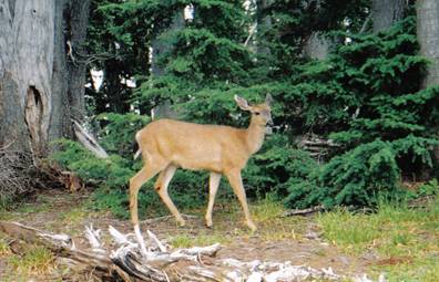
This picture is of a deer that walked by my side for at least half a mile. My daughter and I named him White Tail. If we had been able to we would have pet him. The deer are everywhere. They have no fear. I was able to take many pictures that day of deer, but this one turned out the best.
Those are all of the pictures that I actually took from Hurricane Ridge. These next two pictures are of an Aquatic Succession. They were taken from a viewing stop on the way up the mountain. The lake was named Ancient Lake Morse.
This was my day at Olympic Park’s Hurricane Ridge. www.nps.gov/olym provides more information about the entire park. All of my documentation was provided from educational postings around the park.